6
Land for sale in Al Haniah, Shuala 1 district, belonging to the province of Al-Muzahimiyah.
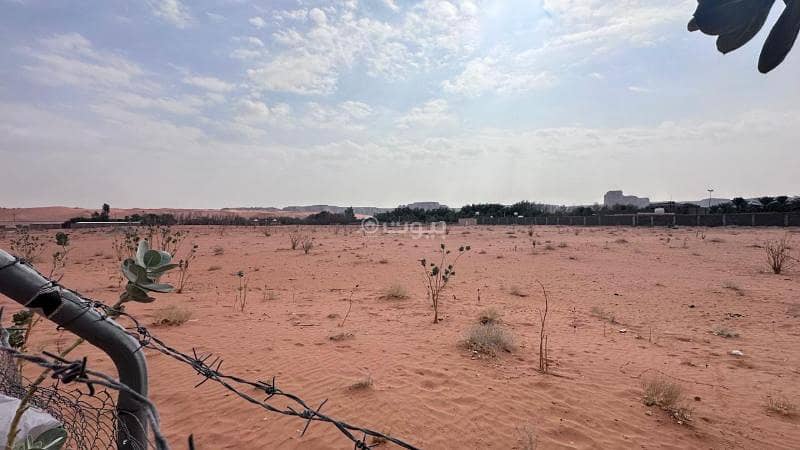
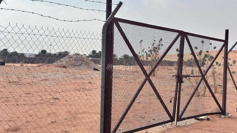
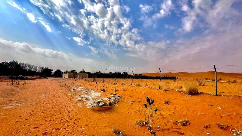
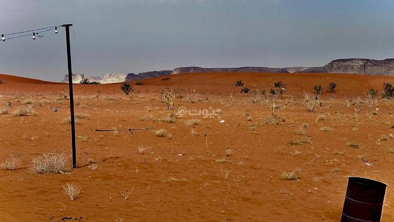
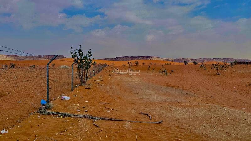
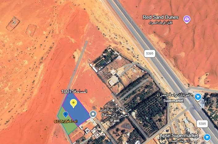
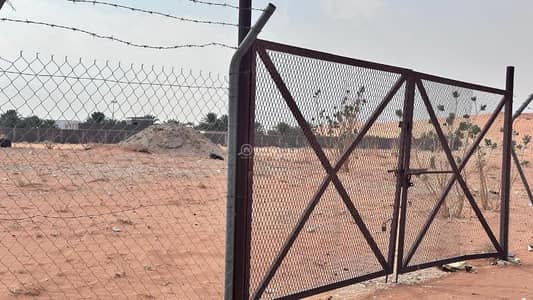
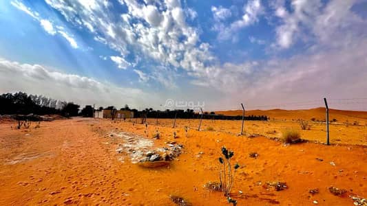
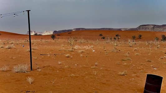
For sale agricultural land owned by an updated document Area: 10075.75 m² Location: Shualla Plan/1 Streets (2): 15 South with a length of 161.50 m² 20 East with a length of 78.50 m² Nature: Level Additions: There is a well Features: Located 200 m away from the main road, close to commercial stores, and a good location for water collection: close to sand dunes, located at the end of a block with no neighbors (directly on the sand dunes) Note: The piece adjacent to it from the north has an area of 6735 m² and the sale is available for both pieces to become on the end of a block. The location is good for establishing a tourist or agricultural headquarters due to its proximity to sands and mountains.
Property Information
- TypeLand
- PurposeFor Sale
- Bayut IDBayut - 87624784
- Added on23 March 2025
Features / Amenities
Close to Main Roads
Electricity
Water Supply
Mosque
+ 1 more amenities
REGA Verified Information
- FAL License Number1100277534
- Advertising License Number7100153412
- License Issue Date21 March 2025
- License Expiry Date10 January 2026
Location
- Regionمنطقة الرياض
- CityAL HANIYAH
- District-
- Street Name20
- Postal Code13216
- Building No7337
- Additional No3644
- Latitude24.368096731379428
- Longitude46.356082470571515
Property Specs
- Advertisement TypeFor Sale
- Listing Usage-
- Listing TypeLand
- Price3022725
- Area Size10075.75
- Number of Rooms-
Utilities
- ElectricityYes
Additional Information
- Listing Age-
- Street Width20
- Plan Numberالشعلة / 1
- Deed Number325007003891
- Listing FaceSoutheasterly
- Borders and Lengths-
- Guarantees and Duration-
- ChannelsLicensed platform, Bulletin board, Social media platforms, Radio, Other
- Obligations on Listingلا يوجد
- Compliance with Saudi Building Code-
- Is Listing PawnedNo
- Is Listing ConstrainedNo
- Land Number1279
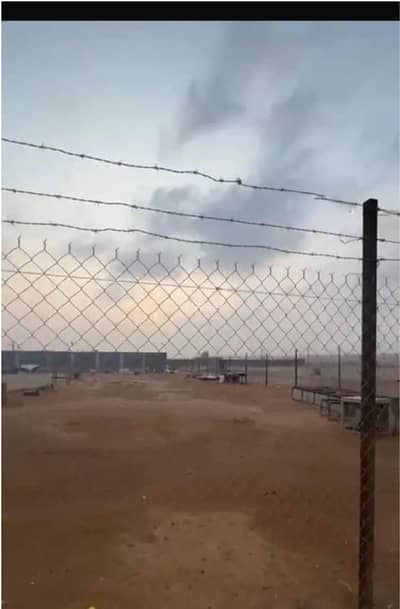
- Notesالارض مستوية ومحاطة بشبك
Property Borders
- Nameقطعة
- Descriptionرقم1278
- Lengthمائة و ستة و عشرون متر
- Nameشارع
- Descriptionعرض 20م
- Lengthثمانية و سبعون متر و خمسون سنتمتر
- Nameقطعة
- Descriptionرقم 1281
- Lengthسبعون متر
- Nameشارع
- Descriptionعرض 15م
- Lengthمائة و واحد و ستون متر و خمسون سنتمتر
North
East
West
South
Loan Calculator
Location & Nearby
The location is fetched and verified by REGALocation Description as per Deed:قطعة الارض الزراعية رقم 1279 من المخطط رقم الشعلة / 1 المجزاء من الملك الزراعى الواقع جنوب المزاحميه المسمى الحنيه الموافق على تجزئتها بخطاب الزراعه رقم 76893 فى 1417/11/17هـ محافظة المزاحمية .
Location
Schools
Restaurants
Hospitals
Parks
Agent:Ta123456
