5
Al Taif Al Dairi Roundabout Nakheel Al Wusam
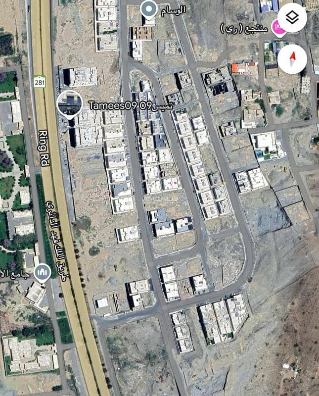
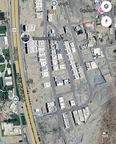
Nokhbat Al-Wasam Plan
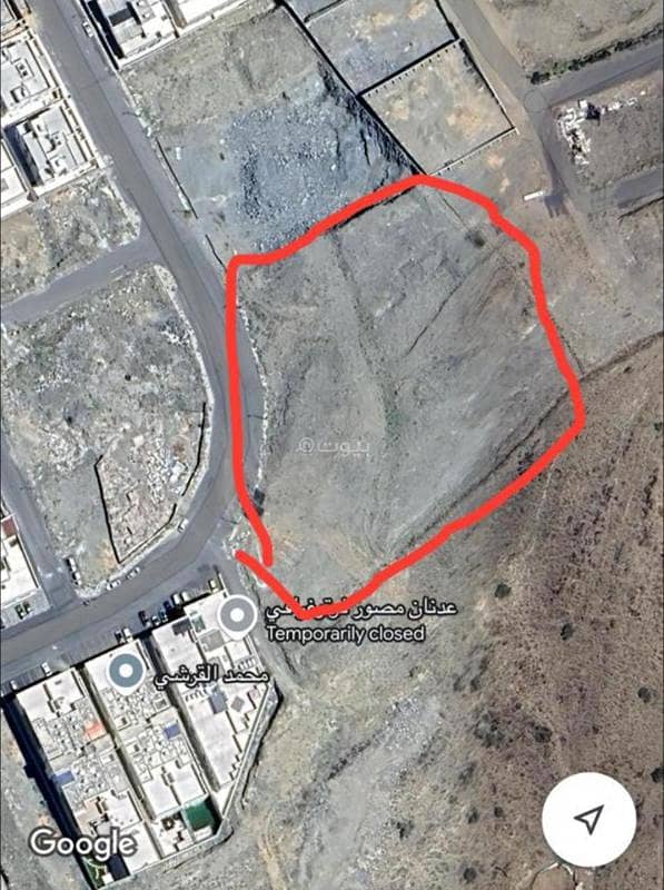
📍Location: Taif City - close to (King Fahd Ring Road)
🔹Plan: 648/S/1420
🔹Plot numbers: (28)(29)(30)
🔹Area: (8896.42 square meters)
🔹Price per square meter of land: (1000 riyals)
🔹Facade: 20 meters wide western street
One of the most important and largest main public axes in Taif.
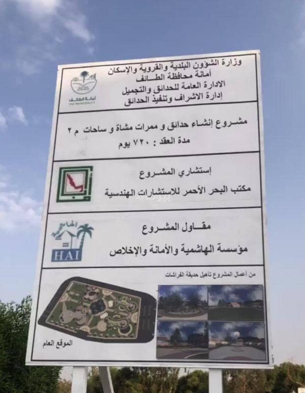
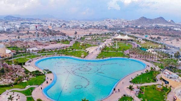
✨ Very close, a 3-minute drive from the new project, Dome of the Butterflies
Property Information
- TypeResidential Land
- PurposeFor Sale
- Bayut IDBayut - 87598908
- Added on24 November 2024
Features / Amenities
Electricity
Water Supply
Schools
Hospitals
+ 4 more amenities
REGA Verified Information
- FAL License Number1200016148
- Advertising License Number7200357931
- License Issue Date24 November 2024
- License Expiry Date9 September 2025
Location
- Regionمنطقة مكة المكرمة
- CityTaif
- DistrictAl Kudaa
- Street Nameالقراحين
- Postal Code26511
- Building No6223
- Additional No2569
- Latitude21.238547414050608
- Longitude40.37695586123031
Property Specs
- Advertisement TypeFor Sale
- Listing UsageResidential Land
- Listing TypeResidential Land
- Price8896420
- Area Size8896.42
- Number of Rooms-
Utilities
- ElectricityYes
- SewerageYes
Additional Information
- Listing Age-
- Street Width20
- Plan Number648
- Deed Number720726002828
- Listing FaceWestern
- Borders and Lengths-
- Guarantees and Duration-
- ChannelsSocial media platforms, Other, Licensed platform, Bulletin board
- Obligations on Listingلايوجد
- Compliance with Saudi Building Code-
- Is Listing PawnedNo
- Is Listing ConstrainedNo
- Land Number28 / 29 / 30
- Notes-
Property Borders
- Nameقطعة
- Descriptionرقم 27
- Lengthأربعة و سبعون متر و خمسة و خمسون سنتمتر
- Nameملك
- Descriptionالغير
- Length54.44 م ثم ينكسر بطول 50 م ثم ينكسر بطول 95.95 = 200.39 م
- Nameشارع
- Descriptionعرض 20 م
- Length25.11 م ثم ينكسر بطول 30.68 م ثم ينكسر بطول 36.12 م = 91.91 م
- Nameممر
- Descriptionمشاه بعرض 6 م
- Lengthاثنين و أربعون متر و ثلاثة و أربعون سنتمتر
North
East
West
South
Loan Calculator
Location & Nearby
The location is fetched and verified by REGALocation Description as per Deed:قطعة الارض رقم 28 - 29 - 30 من المخطط رقم 648 / س/ 1420هـ الواقع فى حى الوسام محافظة الطائف .
Location
Schools
Restaurants
Hospitals
Parks
Mu'assasat Abdullah Zaid Al-Otaibi Lilkhidmat Al-Uquariyah
Agent:User 1m55rQ
